Professional aerial intelligence for infrastructure, construction & public agencies.
Volari Aerial provides aerial documentation, inspections, and project intelligence that help contractors, engineers, developers, and public agencies make informed decisions throughout every phase of a project.
Aerial intelligence, end to end.
Every engagement is scoped around what the project team actually needs in their workflow — from monthly progress capture to one-time inspection support.
Construction Documentation
Monthly progress flights, stakeholder updates, aerial reporting, and project tracking.
Infrastructure Support
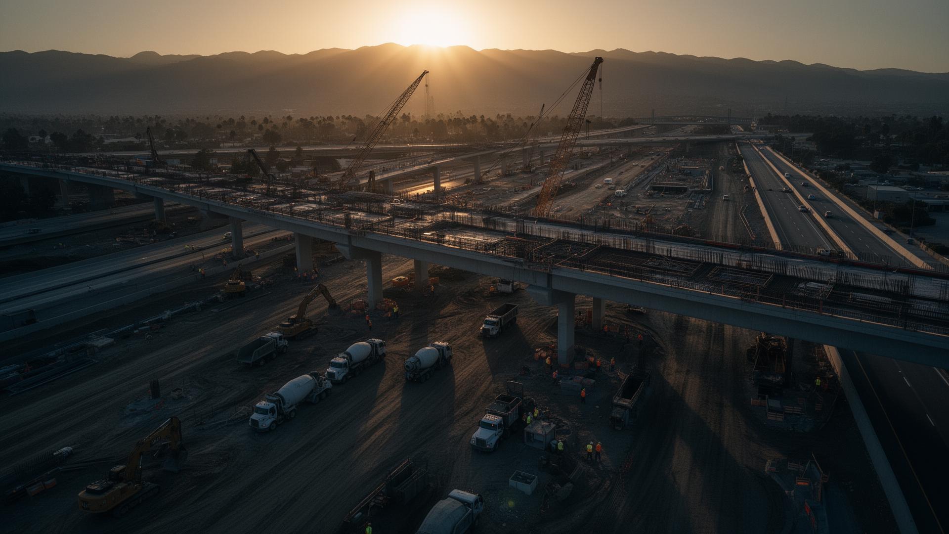
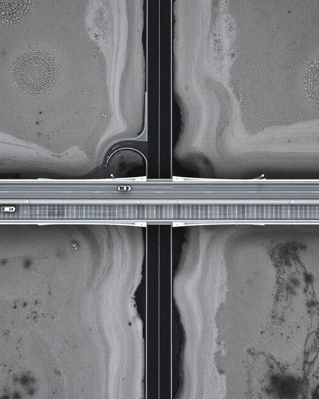
Bridge imagery, roadway documentation, utility corridor monitoring, and public works project support.
Site Inspections
Roof assessments, difficult-to-access visual inspections, storm damage documentation, and condition reporting.
Government & Municipal
Emergency response support, public agency documentation, asset imagery, and bid support.
Environmental & Land Monitoring
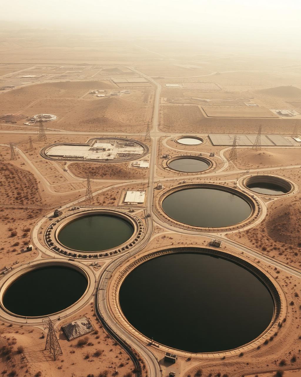
Site overviews, drainage observations, erosion documentation, and development tracking.
Asset Documentation
Professional imagery and reporting for critical assets, facilities, and infrastructure to support maintenance planning, condition assessments, and stakeholder communication.
Why professionals
choose Volari.
Unlike traditional drone photographers, Volari Aerial understands construction workflows, project documentation, and the importance of delivering information decision-makers can actually use.
Insurance documentation available upon request.
Supporting the teams responsible for building, maintaining, and improving Southern California's critical infrastructure.

A predictable workflow on every project.
Consultation
Understand project goals and requirements.
Flight Operations
FAA-compliant drone data collection.
Processing & Analysis
Organize imagery and compile findings.
Delivery
Polished reports, imagery, and actionable project documentation.
Built from the field up.
Founded by a construction professional with firsthand experience in inspections, documentation, and regulatory compliance, Volari Aerial bridges the gap between drone technology and real-world project needs. We understand that clients don't simply need imagery—they need reliable information that improves communication, supports decision-making, and keeps projects moving forward.
Building partnerships across Southern California.
Volari Aerial is actively building partnerships throughout Southern California. As projects are completed, case studies and client success stories will be featured here.
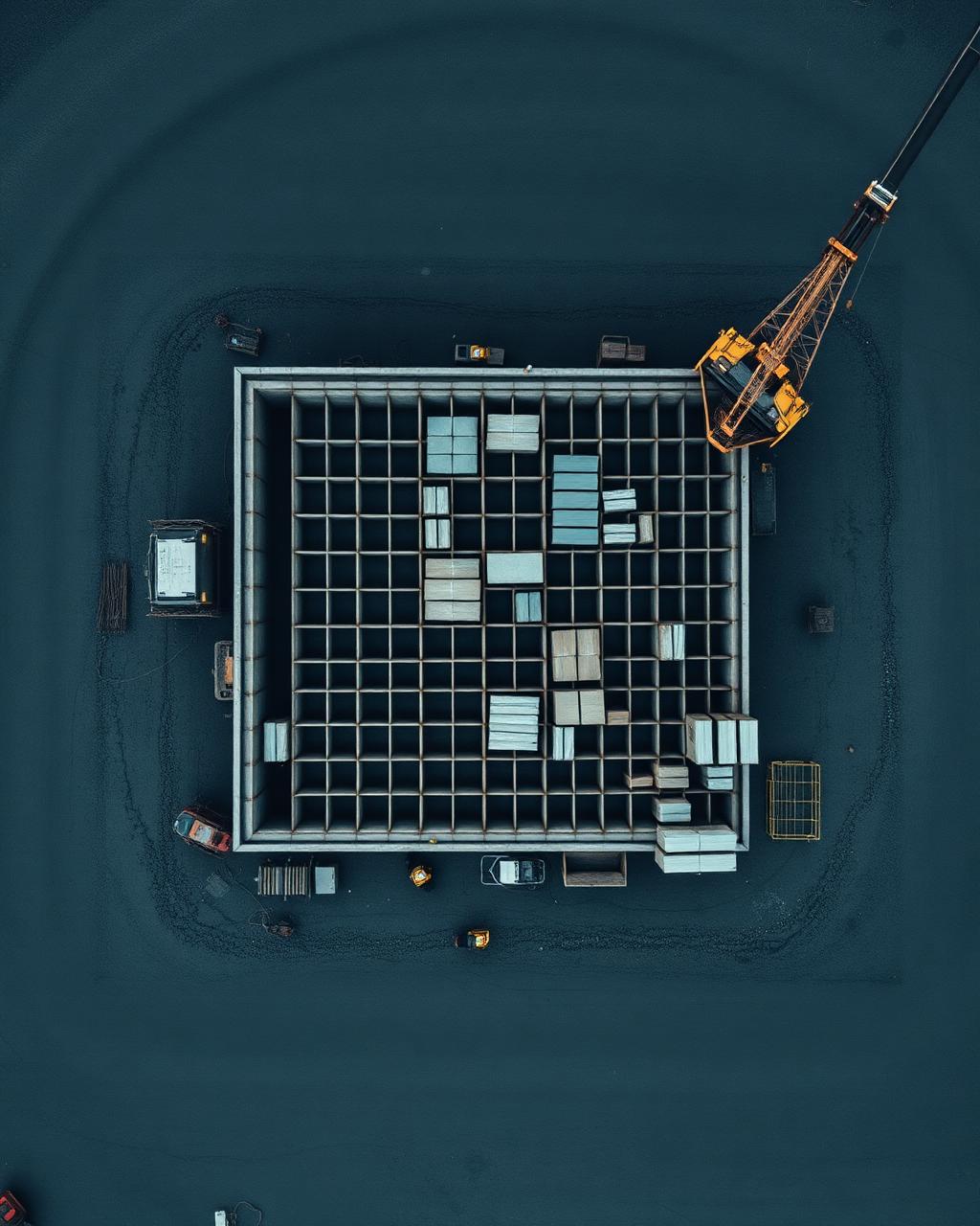
Construction Progress Documentation
Detailed aerial capture and reporting to track milestones, communicate with stakeholders, and maintain project visibility from groundbreaking through closeout.
Infrastructure Support
Aerial documentation for bridges, roadways, utility corridors, and public works—delivering condition assessments and planning support for maintenance teams.
Site Inspection Reporting
Safe, efficient visual inspections of difficult-to-access structures, roofs, and sites—providing clear imagery and structured reports for engineering and operations teams.
Additional project examples available upon request.
Let’s discuss your project.
Tell us about your site, scope, and timeline. Most inquiries receive a response within one business day.